Chamba is bounded on north-west by Jammu and Kashmir, on the north-east and east by Ladakh area of Jammu and Kashmir state and Lahaul and Bara-Bangal area of Himachal Pradesh, on the south-east and south by the District Kangra of Himachal Pradesh and Gurdaspur District of the Punjab.

The Chamba District is situated between north latitude 32° 11΄ 30″ and 33° 13΄ 6″ and east longitude 75°49 and 77° 3΄ 30″, with an estimated area of 6528 square Kilometers and is surrounded on all sides by lofty hill ranges. The territory is wholly mountainous with altitude ranging from 2,000 to 21,000 feet.
 |
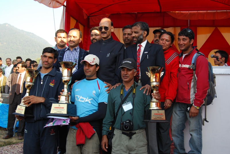
Aadi’s photos taken in 2006 |
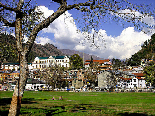 |
Avtar Singh’s photos taken in 2005 |
An IT professional based in the US.
A Himachali forever.
Founded myHimachal, an NGO.
Launched Himachal Media Pvt. Ltd.
Always trying to bring together people whose hearts beat for the mountain state.