Mandi: Researchers at the Indian Institute of Technology Mandi have developed a method to assess the ability of buildings in the Himalayan region to withstand earthquakes. The method is simple and allows decision-makers to prioritize any strengthening and repair work that must be undertaken to enhance the building’s resistance to earthquakes.
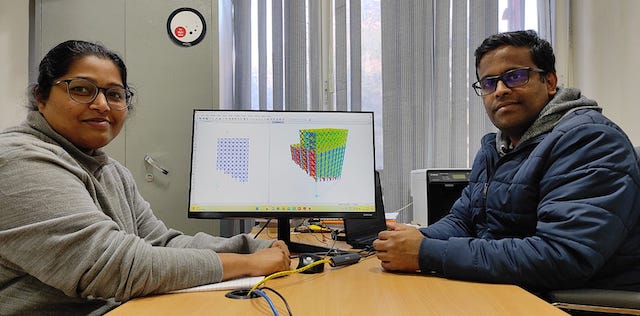
The findings of the research have been published in the Bulletin of Earthquake Engineering. The research has been led by Dr Sandip Kumar Saha, Assistant Professor, School of Civil and Environmental Engineering, IIT Mandi and co-authored by his Ph.D. student Ms Yati Aggarwal.
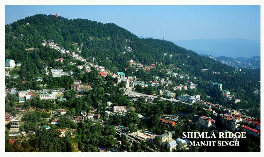
The Himalayas are among the most earthquake-prone regions in the world, because of an ongoing collision between the Indian and the Eurasian plates. There have been periodic earthquakes that have been devastating to these regions in terms of both life and property loss.
While earthquakes cannot be prevented, damage can certainly be prevented through the design of buildings and other infrastructures that can withstand seismic events.
The first step for ensuring earthquake safety of existing structures, is to assess their current vulnerabilities and strengths. It is neither physically nor economically viable to conduct detailed seismic vulnerability assessment of every building. Rapid Visual Screening (RVS) of buildings is often performed to assess building vulnerabilities at large scale. RVS uses visual information to decide if a building is safe to occupy, or requires immediate engineering work for enhancing earthquake safety.

Existing RVS methods are based on data from different countries and are not particularly applicable to the India Himalayan region because of some characteristics that are unique to the buildings in this region. For example, the Himalayan region (as with much of India) has many non-engineered structures. There is also chaotic distribution and growth of infrastructure due to a lack of awareness among the local construction workers and poor planning by the stakeholders. It is therefore essential to use a region-specific RVS guideline that considers factors like local construction practices, typology etc.
Explaining the research, Dr Sandip Kumar Saha, said, “We have devised an effective method to screen reinforced concrete (RC) buildings in the Indian Himalayan region so that repair work may be prioritized according to the condition of the buildings and the risk from impending earthquakes can be minimized.”
Through extensive field surveys, researchers have collected a large amount of data on the types of buildings present in the Mandi region of the Himalayas and the typical attributes present in these buildings that are connected to their earthquake vulnerability. A numerical study was also carried out to establish guidelines for counting the number of stories in hilly buildings for their RVS. Further, based on the vulnerable characteristics present in buildings, an improved RVS method was proposed.
The methodology developed for screening buildings is a simple single-page RVS form that does not require much expertise to fill. It takes into account the various vulnerability attributes that are unique to the buildings in the case study region.
Calculations made using these observations produce a seismic vulnerability score for buildings, which differentiates vulnerable buildings from the more robust ones, and allows better decision-making for maintenance and repair. The computation process is designed such that it minimizes the possibility of human bias or subjectivity of the assessor in scoring a building.
While talking about the benefits of the research, Ms Yati Aggarwal, PhD Scholar, IIT Mandi, said, “We have shown that the proposed method is useful for segregating reinforced concrete buildings in hilly regions according to the damage that they are expected to experience in the event of an earthquake.”
The assessment of buildings in the Himalayan region is urgent and essential not only because of the region’s general earthquake vulnerability but also because a big earthquake is expected anytime due to the “seismic gap” of the past two centuries. It is believed that a seismic gap (the absence of a large earthquake) represents the time taken to accumulate stress, which is then released in a large earthquake. It’s time that human habitats in these areas are bolstered so that they can withstand any mild or severe earthquakes that may occur in the future.
A senior journalist who has spent more than a decade in the profession, working for Amar Ujala and Aapka Faisla.


