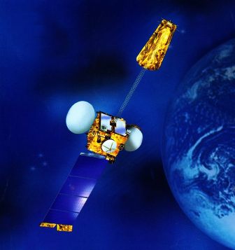
Shimla: Based on Gujarat space application centre model, Himachal within a year of planning has readied the ambitious Aryabhatta Geo-Informatics and Space Application Centre (AGiSAC) here that would enable layering of developmental data with GIS mapping for formulating micro planning and monitoring as well.
Speaking about the center Nagin Nadna, member secretary state council for science and technology said the AGiSAC had been set up with the help of Bhaskaracharya Institute for Space Applications Gujarat (BISAG) institute.
Only last week chief secretary Rajwant Sandhu did an onsite inspection of the hardware, manpower and technologies deployed at AGiSAC. On express orders of the government, the centre has been set up with a capital cost of Rs 1 Cr.
Gaining from the Gujarat experience in fast tracking planning, the space application centre will use Geo-Informatics in development planning, said Nanda. The center is almost ready for launch, he added.
Explaining the process, he said, “Firstly, revenue records with a village level scale of 1:10000 maps would be layered onto satellite images of the same scale to match ground data with satellite data.
To concur upon a base data spread, wherever differences arise, heads of various departments would be asked to sit down together and sort out issues that encroached upon another’s domain.
After agreeing upon the data, it would be pooled and entered into the model, which would help to plot a computerized map of hospitals, schools, watersheds, roads, forests, wastelands, NREGA works and other projects, he said.
With the user agencies being made partners in the project by being authorized to man and regularly updating the relevant data related to their department, the ready to use updated applications of the model are numerous.
Besides meeting the prerequisites of need based development, the project will also come handy in monitoring the status of different projects without having to visit the sites, said Nanda.
It was on 10th November, 2010 after TP Singh, director BISAG institute, Gujarat at an invitation lecture here where he disclosed that just by entering the data of land requirement, distance from rail head, township population etc into the model, the Gujarat government was able to offer three sites within 3 days to Ratan Tata for relocating the Nano plant from Singrur to Gujarat that chief minister Prem Kumar Dhumal on the spot announced setting up of a space application center in the state.
Given the potential of layering all kinds of developmental data with GIS mapping towards formulating planning right up to the grass root level, the government approved setting up of (AGiSAC,†Dhumal had said on the occasion.
Doubts about accuracy, if any, in the model developed are insignificant compared to the advantages of ready to use applications provided within the easy reach of a mouse click or on a mobile phone, says RK Sud, a retired senior scientist.
As Editor, Ravinder Makhaik leads a team of media professionals at Hill Post.
Spanning a career of over two decades in mass communication, as a Documentary Filmmaker, TV journalist, Print Media journalist and with Online & Social Media, he brings with him a vast experience. He lives in Shimla.


